
Dataminr blog

Cyber Risk
The Miasma Worm: A Three-Layer Model for Modern Cyber Defense
Public Sector
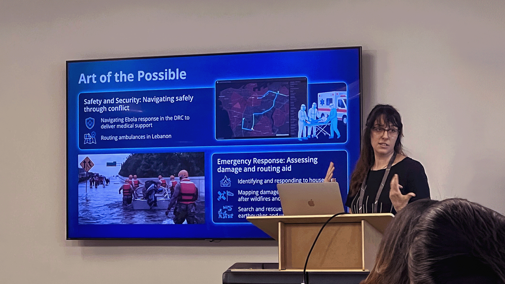
The Right Information in the Right Place: Insights from Esri’s Humans in Crisis Meetup
Key takeaways from Esri’s Humans in Crisis Meetup in Los Angeles, U.S., where GIS practitioners and humanitarian organizations explored how geospatial technology and real-time data intelligence combine to drive faster, smarter disaster response.

Public Sector
Real-Time AI Intelligence Meets GIS: Dataminr’s Native Integration with ArcGIS Velocity
Dataminr is natively integrated into Esri’s ArcGIS Velocity, putting real-time event intelligence directly on the map. Ahead of Esri UC 2026, see how transit, emergency management, and public safety teams benefit from this new release — and what’s coming next with agentic AI.

Public Sector
What 6 Cities in 30 Days Reveal About Infrastructure Risk in 2026


Public Sector
Predicting Themes for the Esri Safety & Security Summit and Why Real-Time AI will be on Center Stage
The threat environment facing state and local governments is evolving faster than legacy tools were built to handle. At the 2026 Esri Safety & Security Summit, Dataminr’s public sector team will focus on three themes driving the conversation: resilience, modernization, and real-time information. Here’s what those themes mean in practice — and how AI-powered intelligence is changing what’s possible inside the Esri ArcGIS environment.

Public Sector
America250: What It Takes to Secure the Nation’s Summer of Events

Cyber Risk
Beyond BOD 26-04: The Vulnerability Management Gap No Directive Can Fix

Public Sector
The Perimeter Has Moved: Airports, Public Data, and the New Critical National Infrastructure Threat
Critical national infrastructure threats no longer originate solely inside the perimeter. They come from power grids, third-party software platforms, geopolitical events, and criminal groups operating entirely online. Security teams managing airports and other major hubs are working with frameworks built for a threat picture that no longer exists. Real-time analysis of publicly available information is what closes the gap and shifts posture from reactive to anticipatory before operational damage occurs.
See the power of Dataminr
Get a firsthand look at how our AI platform helps you know first, so you can act faster.