
When critical emergencies strike, having the right information at the exact right moment can save lives. For state and local government agencies, the margin for error is razor-thin. This reality was at the forefront of the recent Esri Partner Conference, an event that gathered the brightest minds in the geospatial space to discuss how to help customers make better decisions, faster.
As an Esri Platinum Partner, the Dataminr team arrived ready to explore how we can push the boundaries of AI-powered real-time event, threat, and risk intelligence. The energy at the event was palpable, driven by rapid advancements in technology and a shared commitment to improving situational awareness.
Here is a look at the major trends we observed at the event and how the growing partnership between Dataminr and Esri will continue to benefit our joint customers.
Key Trends Shaping the Geospatial Landscape
The conference agenda made one thing abundantly clear: the tools we use to understand and navigate our world are evolving faster than ever. Three major themes dominated the plenary presentations, panel discussions, and side-table conversations.
The Undeniable Rise of AI
Artificial intelligence (AI) is no longer a fringe topic; it is the core driver of modern geospatial innovation. In a rare move, Esri dedicated an additional plenary session entirely to “AI and ArcGIS”, where my Dataminr colleagues presented on “Accelerating Intelligence with Agentic AI” (more on this below). The excitement surrounding how AI can impact the geospatial industry was undeniable.
Government agencies are looking for ways to cut through the noise during critical events. Combined with AI, GIS technology is able to analyze vast amounts of complex data and deliver insights faster and at unprecedented scale, enabling greater automation, prediction, and optimization. We are moving beyond simple data gathering and entering an era where AI helps leaders quickly understand complex situations and deploy resources effectively.
Prioritizing Data Readiness
Data readiness was a recurring theme among presenters. Many organizations struggle with fragmented or disorganized data systems. Without a solid data strategy, many AI tools have to work significantly harder, which increases the risk of generating incorrect or unhelpful outputs.
A major takeaway for government agencies is the urgent need to audit and structure their internal data. The output is only as good as the input. Organizations that invest in data readiness now will be the ones fully prepared to leverage powerful AI tools in the near future.
The caveat to this point is tools like Dataminr. Our AI platform relies on external public data and our own proprietary datasets (rather than an organization’s internal data) to generate real-time information alerts and contextual insights.
Navigating Change Management Using Digital Twins
There was also a lot of excitement about new applications of digital twins. A digital twin is a virtual model designed to accurately reflect a physical object or environment. Conference attendees discussed how digital twins serve as the perfect sandbox for change management.
Consider a major transportation hub like an international airport. Instead of guessing how a new terminal or an emergency event might impact traffic flow and safety, agencies can run scenarios through a digital twin. By pulling historical data and modeling different emergencies, decision-makers can visualize potential impacts before they happen. This builds robust contingency plans and ensures that when a real emergency occurs, the response is swift and tested.
Dataminr and Esri: Driving Real-Time Operational Excellence
The trends we saw at the conference validate exactly what Dataminr and Esri are building together. Our integrated Dataminr First Alert-Esri ArcGIS solution covers early risk warning, event detection, visualization, and operational planning in real time.
What is Happening and Where it Matters
The overarching message of our partnership is simple but powerful: Dataminr tells you what is happening, and Esri tells you where it matters to you, specifically.
When you combine Dataminr First Alert’s real-time breaking events with Esri ArcGIS’ rich contextual intelligence—like the history of an area, the location of public assets, and geospatial analysis—the result is real-time operational excellence.
For example, knowing a fire has started is helpful. Knowing that the fire is exactly two miles from five elementary schools that release students in exactly two hours changes the entire response strategy. The solution provides the early warning, and the critical context that allows agencies to respond in the best possible way.
Agentic AI and Autonomous Orchestration
During the plenary session, my colleagues Matthew Harrell and Andy Rudd took the stage to demonstrate the massive leap we are making in real-time operational efficiency. They showcased a powerful new connector utilizing Agentic AI.
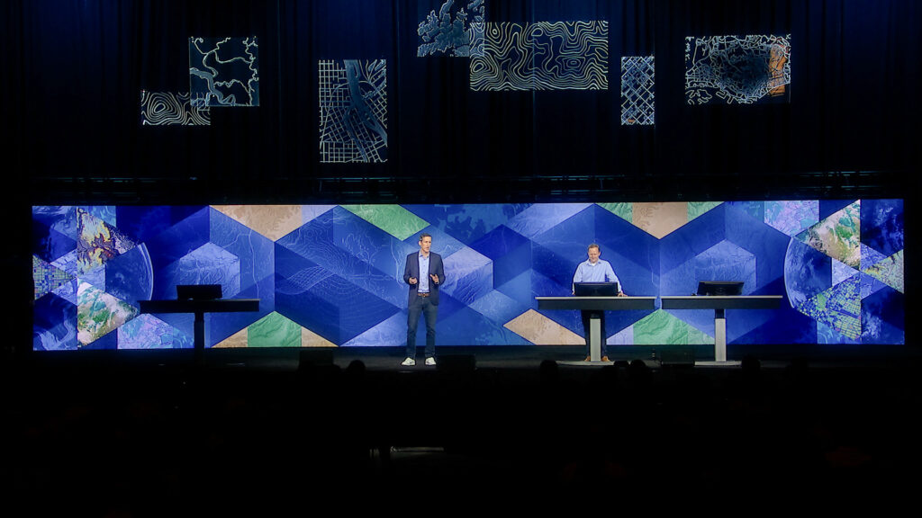
In this demonstration, an AI agent ingested a Dataminr alert alongside rich metadata. It then automatically overlaid that alert against private asset data stored within ArcGIS. Instead of requiring manual data entry or human analysis to connect the dots, the system autonomously assessed the likely impact on specific assets—like field crews or infrastructure. This autonomous orchestration means that decision-makers receive enhanced, robust context instantly. When every second counts, this capability is a true force multiplier.
Enhancing the Common Operating Picture
Tech fatigue is a real challenge for state and local government agencies. First responders do not have the time to toggle between multiple disparate systems during an active crisis.
By integrating Dataminr First Alert directly into the Esri ArcGIS environment, we eliminate that friction. Users can access our real-time alerts within the standard operating systems they already know and trust. We act as a powerful extension of their current capabilities, ultimately empowering teams to make better decisions, faster.
The possibilities for this partnership are truly endless. Whether supporting public safety agencies tracking catastrophic wildfires, protecting military personnel, or helping local governments plan complex civic events, the combination of Dataminr and Esri provides the ultimate common operating picture. We are proud of the innovations we showcased at the Esri Partner Conference, and are incredibly excited to bring these life-saving capabilities to our joint customers.

Accelerate your Response with Information Advantage
The future of geospatial intelligence is real-time, AI-driven, and seamlessly integrated. If your organization is looking to build faster, stronger, and more accurate response strategies, now is the time to explore how advanced intelligence tools can transform your operations.
Get a demo