Executive Summary
- Enhanced situation awareness: The partnership between Dataminr and Esri combines Dataminr First Alert real-time event detection with Esri ArcGIS technology, enabling force protection teams to visualize critical alerts alongside key assets for better situational awareness.
- Improved cross-agency coordination: A unified dashboard creates a common operating picture, fostering seamless collaboration across departments and jurisdictions for more effective coordination.
- Faster, high-confidence decisions: By integrating real-time information with geospatial insights, teams can act swiftly and accurately, reducing delays and mitigating risks to personnel and assets.
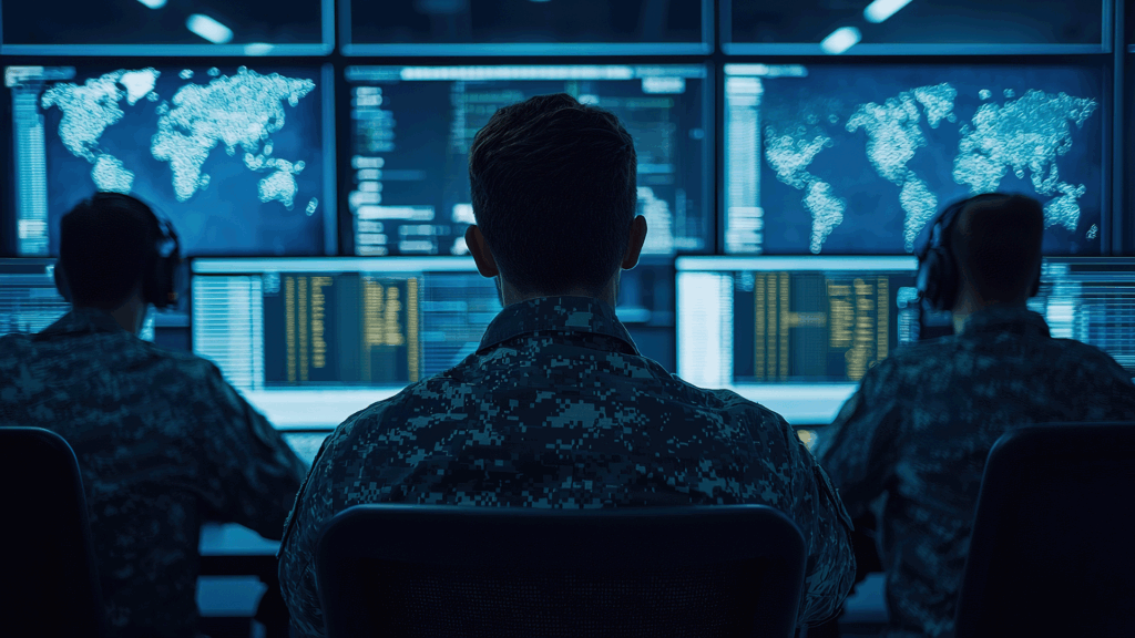
At home, during exercises, and while conducting operations, force protection teams must ensure the safety of personnel and critical assets.
Today’s teams rely on geospatial mapping to visualize which forces and key assets might be vulnerable to approaching danger, and accurate real-time alerts to monitor updates and new information as situations evolve. The partnership between Dataminr and Esri makes it easy to see all critical data in one dashboard.
The integration of Dataminr First Alert into Esri’s ArcGIS ecosystem helps force protection teams expand their situational awareness and improve and accelerate their decision cycles. They achieve this information and decision advantage by using geospatial tools to focus their attention on the right information at the right time, and by combining that information with critical elements of context from the situation.
Key Challenges in Force Protection
Force protection is a matter of life and death, and the teams tasked with protecting critical personnel, facilities, and assets face wide-ranging challenges.
Too much information
Especially during times of crisis, military organizations often receive more information than they can process in real time. Critical data can be buried or lost among the noise, leading to ineffective responses. Information that is too late, too vague, or too noisy to be useful limits the effectiveness of early warnings to potential threats.
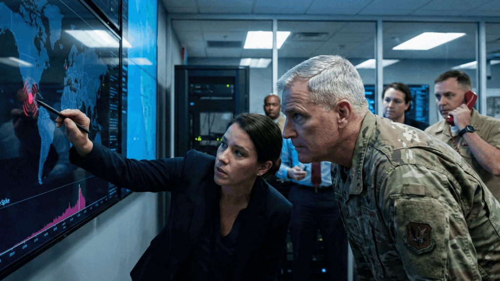
Communication chaos
Force protection can involve multiple units, outside agencies, coalition partners, governments, and law enforcement entities covering various geographies and locations. Swift and seamless communication between groups is critical for planning and ensuring personnel safety and asset security. Siloed technology platforms and gaps in communication often impact situational awareness and can even create confusion. This additional friction leads to ineffective coordination, slows information flow, and degrades alignment between groups.
High-stakes impact of slow data
The current manual approach to information gathering, verification, threat prioritization, and deciding on the correct response can lead to slower-than-optimal decision-making. In a high-risk environment, data that takes too long to flow through legacy processes becomes stale and potentially dangerous. Force protection is a high-stakes endeavor; any delay in action can have devastating consequences.
Legacy systems offer limited views
Legacy systems can be slow and subjective, and often only cover large-scale events that are formally reported. This creates unintentional blind spots around smaller, localized risks which may have an enormous impact.
Why Real-Time Information Matters
Government agencies require accurate, real-time information to make effective operational decisions and better protect lives and critical assets.
Real-time information delivered by Dataminr First Alert provides critical context and details of events as they emerge and unfold. From hyper-local risks to global events, First Alert gives military organizations a full-spectrum, continuous situational awareness, so they can respond more quickly and pivot at the first sign of a shift in the environment. Further, First Alert enables all team members to receive the same critical information simultaneously, ensuring a common operating picture across teams.
Armed with real-time, actionable information, force protection teams can shift their focus from sorting through overwhelming amounts of data signals to responding to potential risks. Using a broad range of public data sources and historical event data, Dataminr identifies corroborating patterns across additional sources and modalities to ensure information is authenticated, timely, relevant, and accurate.
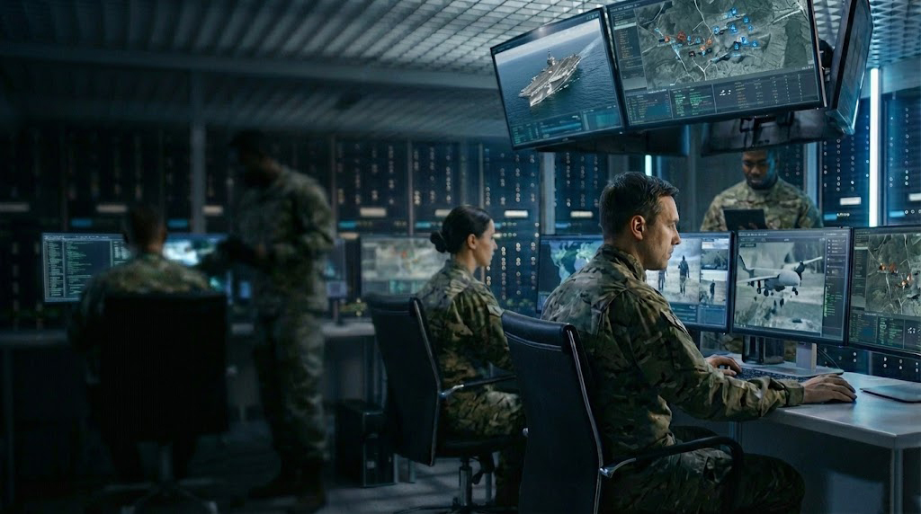
The Impact of Geospatial Technology
In today’s global context, force protection teams need to understand a wide range of data sets and inputs, and how each will interact with the others in real-time. ArcGIS, Esri’s comprehensive geospatial platform, provides mapping, spatial analytics, remote sensing, data management, and streamlined field operations. The platform can layer all relevant data sets to better visualize and understand a problem geographically. Teams gain critical risk information, highlight areas of optimization, and can see how various points of data intersect in the real world, leading to more effective and faster decision-making.
For example, if a military facility is located in an area that receives frequent flooding, ArcGIS can overlay historic flood plains, existing drainage, rainfall patterns, and future forecasting. It will highlight how at risk a particular area is to future flooding, informing decisions about mitigation planning and asset protection. Cross-agency teams will have access to the same neutral set of overlaid data and information, which aids in communication and cooperation.
How Dataminr and Esri Help Teams Solve Problems
The integration of Dataminr First Alert with Esri ArcGIS combines critical real-time event detection with comprehensive mapping and analytics. Together, the technologies solve three of the most basic issues teams face: what to pay attention to; what to do with that information; and how to understand deviations from the norm.
Focus on the critical events that matter the most
Teams can combine emerging and existing information to build contextual maps, dashboards, and other tools to tell an immediate story at a glance. This allows teams to call attention to critical threats and risks in physical proximity to key resources.
Make better and faster decisions
Dataminr First Alert provides real-time alerts about emerging events and threats around the globe. Our Live Briefs update dynamically as the event unfolds, helping teams rapidly understand the complexity of a situation. Combining this with the data that resides in ArcGIS—unit resources, key lines of communication, special areas of interest, etc.—allows teams to move rapidly from awareness to understanding the implications to their own operations.
Uncover deviations from the norm
Individual events draw attention as they emerge, but often critical trends emerge only after observing data over time. Integrating First Alert data into ArcGIS tools gives units the upper hand in understanding their operational environment: what is normal, and what is new.
The need to receive real-time information and updates at the first sign of a potential threat cannot be underestimated. Teams can now visualize events and risks alongside other critical data pieces and deploy better, faster responses to precise locations. Integrating Dataminr and Esri addresses many challenges force protection teams face, and enables leaders to make more effective, confident decisions.

The Total Economic Impact™ of Dataminr First Alert
Explore the ROI of First Alert and how it benefits public sector organizations—from enhancing decision-making to boosting efficiency and crisis response times.
Get the report